Highest Point in Alameda County - Rose Peak, Livermore, CA
- Pawan Sohi

- May 29, 2018
- 2 min read
Looking to challenge yourself, this is a must do, it is sure to test your endurance

Rolling Hills with a significant ascent and descent, wilderness of Rose Peak is fairly untouched in the Del Valle Regional Park for experienced hikers and backpackers.
Given the ~5,000 ft elevation gain with series of ascents and descent, and close to 20 miles RT, Rose Peak makes for a significantly rough hike. There are those who do this hike as a backpacking trip, but we decided to do this as a day hike. That surely made for a really long day, starting at the Del Valle Regional Park, close to Livermore, CA.


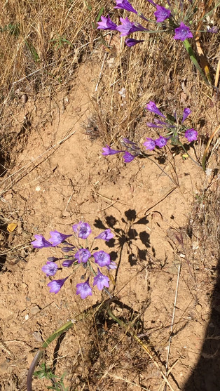


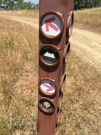
The park is full of wildflowers, wildlife and grasslands and has very low traffic. Del Valle Regional Park requires a park entry fee and permits for overnight. At the trailhead is a nice picnic area, along with a small waterbody. Having started off at 6AM it was very pleasant at the time, the initial part of the trail is nice and shaded, but that does not last too long. The elevation gain begins right off the gate. We did this in the peak of summer and it turned out to be an extremely hot day. Starting off near the picnic area and campground Sailor Camp Trail, shortly in about a mile, you reach the check-in board for the Ohlone Trail. It was time to check in, look at the posted warnings and sign the registry. The trail gradually winds through the forest before reaching a decent into Williams Gulch. The stream here should have some water if its not dried in the summer. Once you cross this, you will have a steady climb up again for about 2 miles before reaching a rather flat area. As we continued our trechrous path up and down the mountain, along a flat area came across a pond of water, I have never seen lotus plant growing here, it usually does in stagnant water, to my surprise the lillies growing in this pond looked so much like the lotus to me. We took a short lunch break before heading on to the summit.


Most of the hikers we met sparingly along the way were either preparing for a bigger climb like Half Dome or were backpacking from Livermore into Sunol and Fremont. The trip was was super exhausting and we ran out of water due to the weather being warm. I would recommend doing this hike during spring or later in the fall, and plan for an entire day out in the wilderness.
Learning's from the tribe - Trail map of the park or a picture on the phone of the trail map is a must have, with no connectivity these can come handy.


Comments